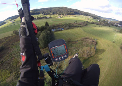
I recently bought myself a Skytraxx 2.0 Plus (FANET) variometer, a flight computer for paragliding that supports GPS and can display airspaces and waypoints.
To import new waypoints into the device, you can simply
drag & drop files ending in .wpt to the device via USB.
The file format used is called "CompeGPS".
I wanted to import all Swiss launch sites and landing zones. These waypoints can be downloaded from flyland.ch in GPX and UTM format.
File Formats
This is what GPX looks like:
<?xml version="1.0" encoding="UTF-8" standalone="yes"?>
<gpx xmlns="http://www.topografix.com/GPX/1/1" version="1.1" creator="Flyland">
    <metadata>
        <name>Waypoints (Startplaetze, Take off places)</name>
    </metadata>
    <wpt lon="8.74905846" lat="46.95258549">
        <ele>1620</ele>
        <name>Achslen</name>
    </wpt>
    <wpt lon="6.83344274" lat="46.33372313">
        <ele>1900</ele>
        <name>Alamon</name>
    </wpt>
   ...
This is what UTM looks like:
$FormatUTM
W10000   32T   0480905   5199926   1620  Achslen
W10001   32T   0333252   5133409   1900  Alamon
...
And this is what the CompeGPS format looks like:
G  WGS 84
U  1
W  BurgMs A 49.2741690000ºN 8.0241517000ºE 27-MAR-62 00:00:00 0.000000 Burg Meistersel
w  Waypoint,0,0.0,16777215,255,1,7,,0.0
W  Bachsp A 49.4582500000ºN 8.7084330000ºE 27-MAR-62 00:00:00 398.000000 Bachspring Dossenheim
w  Drinking Water,0,0.0,16777215,255,1,7,,0.0
...
As you can see, these are all different formats, so the downloaded files from flyland.ch cannot be directly used on the Skytraxx.
Converting GPX to CompeGPS
Fortunately, gpsbabel – the ultimate tool for GPS file format conversion – supports both the GPX and the CompeGPS formats.
To convert the source file, invoke gpsbabel like this:
gpsbabel -i gpx -f <source>.gpx -o compegps,index=1 -F <destination>.wpt
For example, for the launch sites:
gpsbabel -i gpx -f Waypoints_Startplatz.gpx -o compegps,index=1 -F launch_ch.wpt
You can now drag the resulting launch_ch.wpt file to the
WAYPOINTS directory on your Skytraxx, and you should be
able to load it using the "Waypoints" menu entry.